Long endurance
Efficient surveying and mapping solution

Long endurance

Open mounting system

RTK centimeter positioning

Fully autonomous flight

Higher cost performance
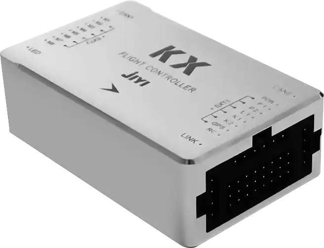
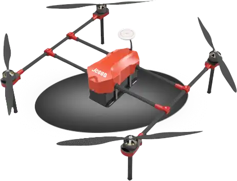
The KX flight control system is developed for the application scenarios of the surveying and mapping industry. It adopts the software and hardware redundancy control design and advanced software diagnosis algorithm, which can also meet the needs of power line inspection, fire fighting, logistics, emergency rescue, traffic monitoring, shout out warning and other industry applications.
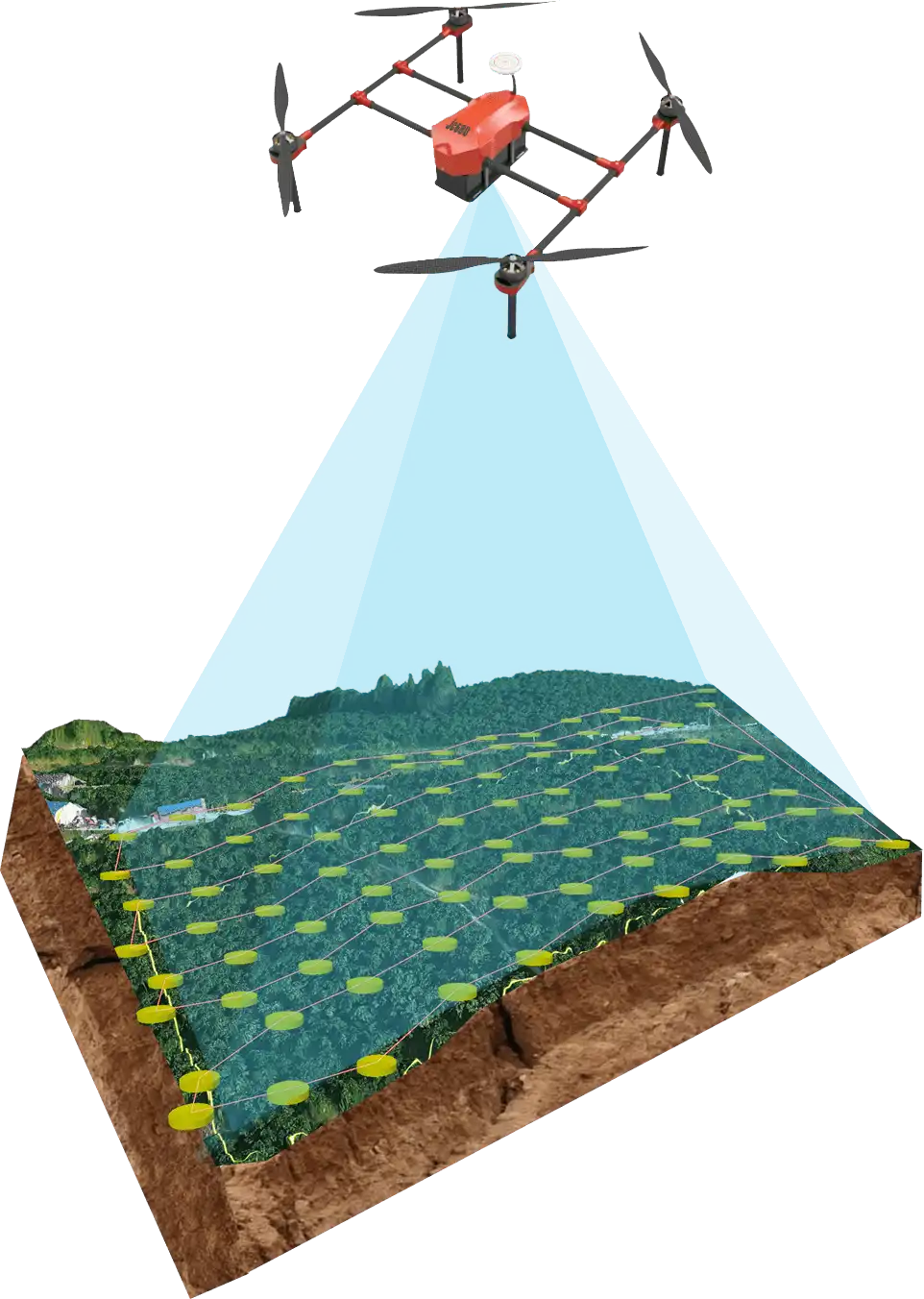
The data after surveying and mapping is imported into the Jiyi JC surveying and mapping processing software. After intelligently identifying the boundary of the plot and crop positioning, it can be directly imported into the Agri Assistant APP for fully autonomous spraying operations.
JIYI is the global professional drone solution provider for drones. If you need drones, then you need us.